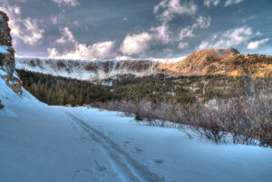
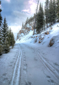
 The 2017/2018 ski season has begun for some with an early October snowstorm that left approximately a foot of heavy snow bending still-foliated deciduous trees to the ground, and straining many coniferous saplings beyond the point of no return. That snow is a distant memory everywhere except in the Northerly shadows of steep ridges at higher elevations. The above tree-line terrain has remained snow covered on north-facing aspects, but continues to be warmed anywhere that it sees the sun.
 This leaves a foreboding situation with a snowpack that is lying over warm ground for an extended period, metamorphosing into larger less stable crystals with each passing day and swing of the temperature pendulum. One silver lining is a strip of north facing snow 8-24″ deep that covers the aquaduct North of the old Berthoud pass ski area. It’s only 1K in length, but that’s enough for some early season high altitude on-snow training. There is snow in the forecast, but it will likely be a while before things cool off enough for enduring snow in the valley.


